Geology of the Great Plains

Traveling through Nebraska, outdoor enthusiasts often find themselves captivated by the vast, seemingly endless expanse of the Great Plains. However, beneath the rolling hills and fertile soils lies a complex geological history that has shaped the region over millions of years. The Great Plains are a type of temperate grassland ecosystem, characterized by a lack of trees and an abundance of grasses and other herbaceous plants. From a geological perspective, the Great Plains are a relatively young feature, with the majority of the region's landscape having been shaped by a combination of tectonic activity, glaciation, and erosion.
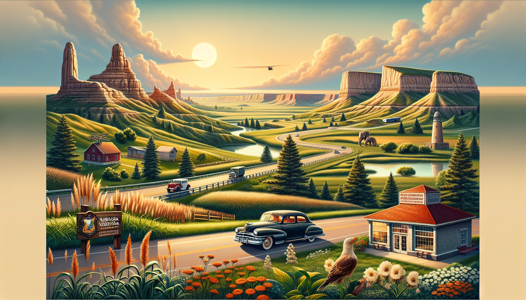
The geology of the Great Plains can be broadly divided into three main regions: the High Plains, the Plains Border, and the Dissected Till Plains. The High Plains, which cover western Nebraska and parts of eastern Colorado and Kansas, are characterized by a flat to gently sloping terrain and a thick layer of unconsolidated sediments, including sand, silt, and clay. This region was once a vast sea, with the Cretaceous Period's Western Interior Seaway covering much of the area. The resulting deposits of chalk, limestone, and sandstone have since been eroded, forming the characteristic badlands and canyons of the High Plains.
In contrast, the Plains Border, which runs along the eastern edge of the Great Plains in Nebraska, is characterized by a more rugged terrain, with numerous hills and valleys carved out by the erosive action of water. This region is underlain by a series of Paleozoic and Mesozoic limestones, dolomites, and sandstones, which have been uplifted and eroded over time. A notable example of this region is the Missouri River valley, which runs along the eastern edge of Nebraska and has been carved out by millions of years of erosion.
The Dissected Till Plains, which cover eastern Nebraska and parts of Iowa, Kansas, and Missouri, are characterized by a more dissected terrain, with numerous hills and valleys carved out by glaciers and rivers. This region is underlain by a thick layer of till, or glacial deposits, which were formed by the movement of massive ice sheets during the Pleistocene Epoch. A notable example of this region is the Sandhills region of Nebraska, which is characterized by vast expanses of rolling hills and valleys.
One of the most striking geological features of the Great Plains is the presence of numerous fault lines and fractures, which crisscross the region and have played a significant role in shaping the landscape. A notable example is the Ogallala Fault, which runs along the western edge of the Great Plains in Nebraska and has been responsible for the formation of several large lakes and wetlands.
The geology of the Great Plains has also been shaped by the presence of numerous underground aquifers, including the Ogallala Aquifer, which underlies much of the region and provides water for millions of people. This aquifer has been formed by the downward flow of water from the surface, which has been filtered through the layers of rock and soil to form a vast underground reservoir.
In addition to the Ogallala Aquifer, the Great Plains are also home to numerous other underground aquifers, including the High Plains Aquifer and the Dakota Aquifer. These aquifers have played a significant role in shaping the region's landscape and have been used for irrigation and other purposes. However, the over-extraction of groundwater from these aquifers has also led to significant declines in water levels and land subsidence in some areas.
In conclusion, the geology of the Great Plains is a complex and fascinating topic, with numerous features and processes that have shaped the region's landscape over millions of years. From the rugged terrain of the Plains Border to the flat expanses of the High Plains, the Great Plains are a unique and captivating region that offers outdoor enthusiasts a wealth of opportunities for exploration and discovery.
