Soil Erosion Dynamics of the Great Plains

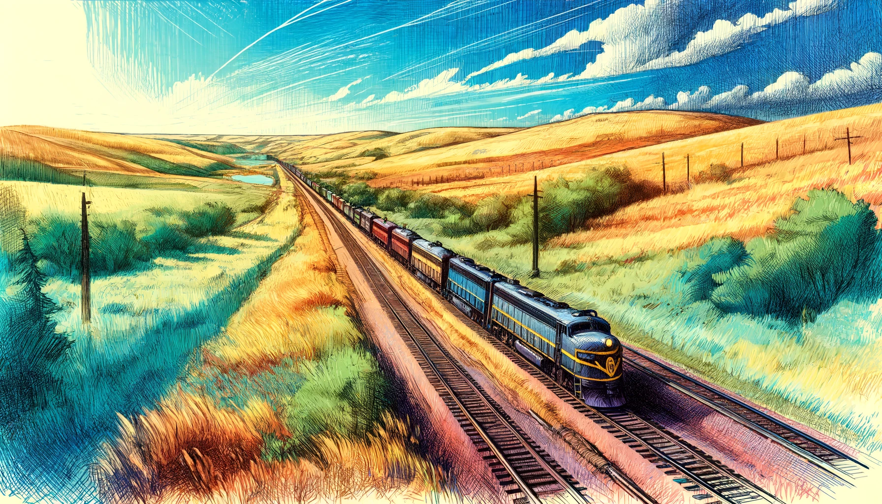
Traveling through Nebraska's vast prairies, one cannot help but notice the regions' unique landscape shaped by centuries of wind, water, and human activities. The state's iconic Sandhills, stretching approximately 270 miles across central Nebraska, from the Canadian River valley in Arthur County to the Elkhorn River valley in Cuming County, are a striking example of the region's complex soil dynamics. Here, the interaction between soil composition, topography, and natural forces has resulted in a landscape that is both visually stunning and ecologically fragile.
At the heart of the issue lies the concept of soil erodibility, which is influenced by a range of factors including texture, organic matter content, and permeability. The soils of the Great Plains, including those found in Nebraska's Sandhills, are characterized by a mix of fine-grained and coarse-grained sediments, including clays, silts, and sands. These diverse textures have led to varied erodibility in different regions, with coarse-grained soils like those found in the Sandhills being particularly susceptible to wind erosion.
To illustrate the potent impact of wind erosion in this region, consider the massive dust storms that swept the US Great Plains during the 1930s, devastating agricultural communities across Nebraska, Kansas, and the Texas Panhandle. Known as the Dust Bowl, this period of severe soil erosion and resulting dust storms was caused, in part, by overfarming and the removal of native grasses that had previously held the soil in place. Studies have shown that wind speeds can exceed 30 miles per hour in exposed regions of the Sandhills during these events, exacerbating the erosion of already unstable soil.
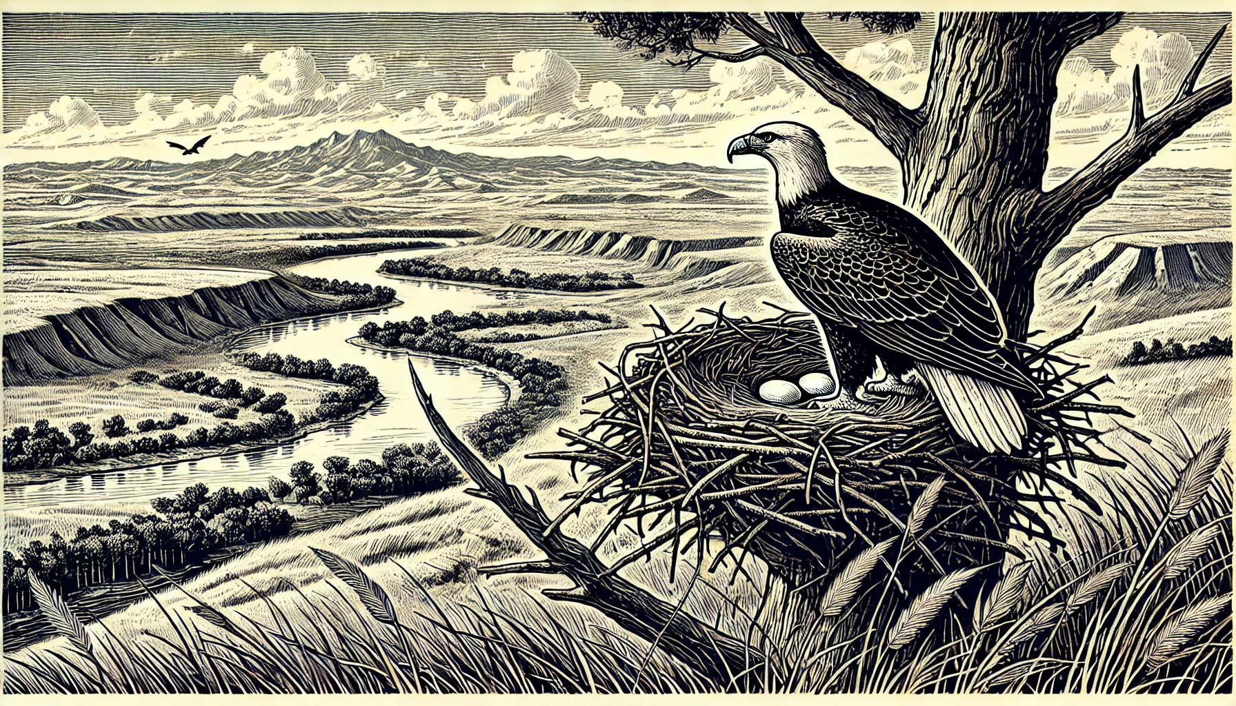
In contrast to the impacts of wind, water-induced erosion plays a significant role in shaping the region's riparian zones and agricultural areas. Along the North Platte River, which flows across the Sandhills from Colorado to South Dakota, erosion from riverine processes has led to significant changes in the channel morphology over the past century. Similarly, in the Loup and Elkhorn rivers, extensive meandering and braiding of the watercourses has resulted from localized erosion and deposition. Agricultural activities along the rivers have further exacerbated these changes.
While these large-scale examples provide insight into the magnitude of soil erosion in Nebraska's natural systems, the localized effects of changes in land management, surface roughness, and above-ground vegetation cannot be overstated. Studies in experimental plots have shown that variations in tillage practices and planting cover crops in order to mimic native ecosystems can have profound effects on surface erosion rates, highlighting the complex interplay between ecological and agricultural systems in controlling soil loss.
These ongoing erosion dynamics in Nebraska and the surrounding regions underscore the importance of continued research on the environmental processes driving soil loss and developing innovative solutions to mitigate them. Furthermore, better understanding of the complex relationships between soil composition, natural forces, and land management practices in these sensitive ecosystems offers greater appreciation of ecosystem resilience and can provide pathways for sustainable resource management and conservation practices.
The management of soil is critical to ensuring sustainable agricultural and natural resources development in regions such as the Nebraska Sandhills, where high-intensity land use can have a detrimental impact on fragile ecosystems and rural communities alike. Balancing human development with ecosystem resilience demands forward-thinking regional management strategies, integrating scientific knowledge with effective agricultural practices and water resource management.
In Nebraska, targeted conservation programs are providing real-world examples of sustainable resource management. The Conservation Reserve Program (CRP), for instance, has set aside millions of acres for retirement from intensive agriculture since its inception in 1985. By planting those areas to high-diversity native vegetation, including bluestem grasses, the program seeks to protect topsoil loss and promote native ecosystems recovery, advancing regional biodiversity and terrestrial carbon sequestration.
