Traveling Through Nebraska's Groundwater: The High Plains Aquifer System

The High Plains Aquifer, also known as the Ogallala Aquifer, is a massive network of groundwater that underlies the Great Plains region in the United States. Spanning across eight states, including Nebraska, the aquifer is a vital component of the region's ecosystem and economy, supporting both agriculture and urban development. As a traveler visiting Nebraska, understanding the High Plains Aquifer is crucial in appreciating the region's unique geography and environmental challenges.
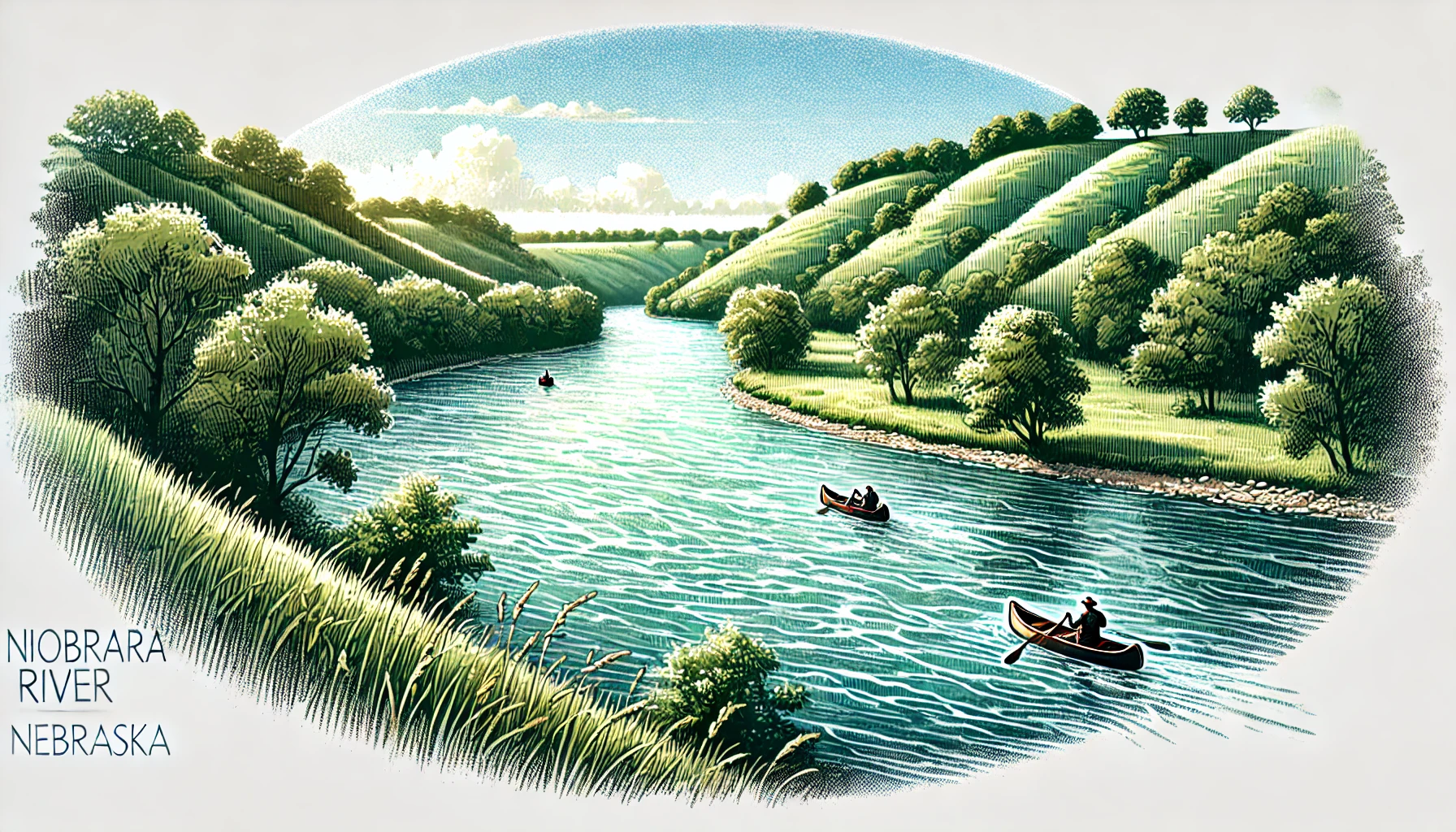
The High Plains Aquifer is recharged primarily through precipitation and snowmelt from the eastern slope of the Rocky Mountains. This water then flows eastward through the region, feeding rivers such as the Platte and Republican. However, the aquifer is not a single, uniform unit. It is instead composed of several distinct layers, including the Ogallala Group sandhills, which are particularly notable for their exceptional permeability and storativity. The Ogallala Group sandhills, covering over 120,000 square miles in western Nebraska, are instrumental in storing and transmitting large quantities of groundwater. These sandhills can be observed in areas such as the Niobrara National Scenic River in north-central Nebraska.
Historically, the High Plains Aquifer was used by Native American tribes and early settlers who exploited shallow wells for personal use. However, the major development of the aquifer began in the 1940s and 1950s, with the widespread adoption of center-pivot irrigation systems in agricultural areas. Center-pivot irrigation allowed farmers to efficiently deliver water from deep wells to large fields, greatly increasing crop yields and the overall agricultural productivity of the region. Although beneficial to agriculture, the rapid development of the aquifer has led to significant water-level declines and environmental concerns.
At the Norman Burrus Natural History Preserve in north-central Nebraska, for example, conservation efforts have focused on managing groundwater use to protect habitat for the endangered Platte River whooping crane. However, other parts of the state, such as the Sandhills region around Lake McConaughy, face a more pressing challenge from the intensive groundwater pumping that supports local irrigation. Conservation efforts have thus sought to balance competing demands between human needs and environmental protection.
Despite conservation efforts, maintaining sustainable groundwater levels in the High Plains Aquifer remains a significant challenge for Nebraska. As a state heavily reliant on groundwater for both agricultural and urban purposes, minimizing the impacts of over-extraction is critical to ensuring a long-term, healthy aquifer system. Government initiatives and public awareness campaigns continue to promote more efficient and sustainable water management practices in the region, yet the long-term consequences of groundwater over-extraction remain a pressing concern for both environmental protection and regional economic development.
