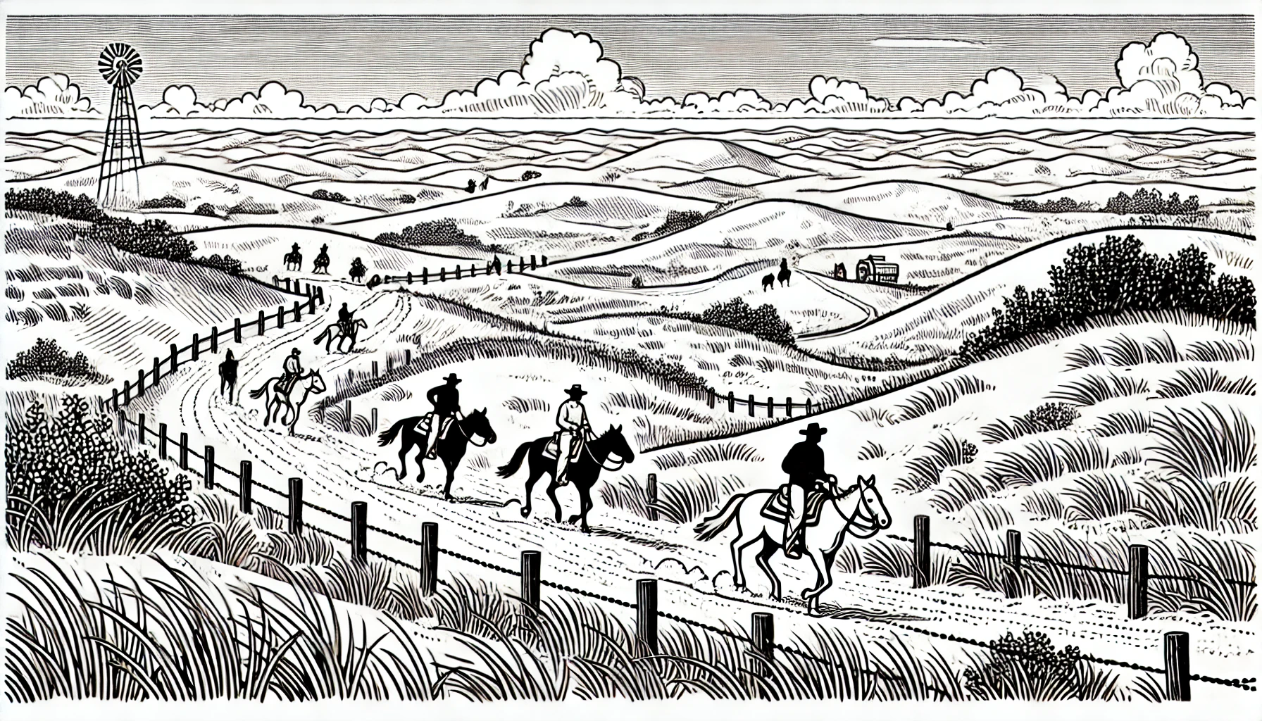
Mormon Trail History in Nebraska

Traveling through Nebraska, one can't help but notice the rich history that permeates the state's vast landscape. The Mormon Trail, also known as the Mormon Pioneer Trail, played a significant role in the development of the region, serving as a crucial route for thousands of Mormon pioneers between 1846 and 1869. This arduous journey, spanning over 1,300 miles from Illinois to Utah, left an indelible mark on the state's history and geography.
One of the trail's most distinctive features in Nebraska is the convergence of the Platte River and its tributaries. The Platte, a vital source of water and a transportation route, provided a lifeline for the Mormon pioneers, as well as Native American tribes and traders. Fort Kearny, a United States military outpost located near present-day Kearney, was a crucial stopping point for the pioneers, offering protection and respite from the harsh conditions. The fort, established in 1848, not only served as a military post but also housed a trading post and a telegraph station.
As the Mormon Trail traversed the state, it intersected with the Oregon Trail, another notable route of westward expansion. Near present-day Grand Island, the trails converged, leading to the establishment of trading posts and settlements, including the 1858 trading post of Gilman's Trading Post. This convergence of trails brought an influx of settlers, leading to the growth of pioneer communities and the development of new settlements, such as Fort McPherson.
The Mormon Trail also played a significant role in the settlement of the Great Plains region. Mormon pioneers, many of whom were of European descent, discovered the fertile land and favorable climate of the Sandhills region, leading to the establishment of settlements such as Chimney Rock, Scotts Bluff National Monument, and Ash Hollow State Historical Park. Chimney Rock, a prominent landmark, stood as a beacon for travelers, serving as a guide for the pioneers as they navigated the vast expanse of the Great Plains.
One notable event in the Mormon Trail's history is the winter of 1856, when severe weather conditions and delayed supply trains brought thousands of pioneers to the brink of disaster. The October Blizzard of 1856 stranded hundreds of wagons near the present-day hamlet of LaMarque, resulting in widespread shortages and the deaths of over 1,500 livestock. The emergency led to an influx of supply trains and humanitarian aid, coordinating relief efforts between Salt Lake City and the relief camps.
As the railroad expanded westward, the role of the Mormon Trail gradually diminished, marking the shift from a primary pioneer route to a nostalgic remnant of a bygone era. The construction of the Union Pacific Railroad in the late 1860s led to an escalation in population growth and the eventual decline of the trail's significance. The Nebraska Department of Roads designated the trail as the Mormon Pioneer Memorial Highway in 1938, resulting in the construction of several interpretive centers and museums.
One remnant of the trail can be seen in the modern-day Chimney Rock National Historic Site, located near present-day Bayard, in Morrill County. Another reminder of the trail's legacy lies in the reconstruction of the Ash Hollow State Historical Park trading post. Throughout the trail's original route, museums, landmarks, and interpretive centers provide an interactive insight into the experiences of the early Mormon pioneers.
The State Historic Preservation Office of the Nebraska State Historical Society oversees the preservation and maintenance of the state's rich cultural heritage. The office ensures that the region's compelling history of human endeavor and resilience remains an integral part of its broader context and symbolism.
