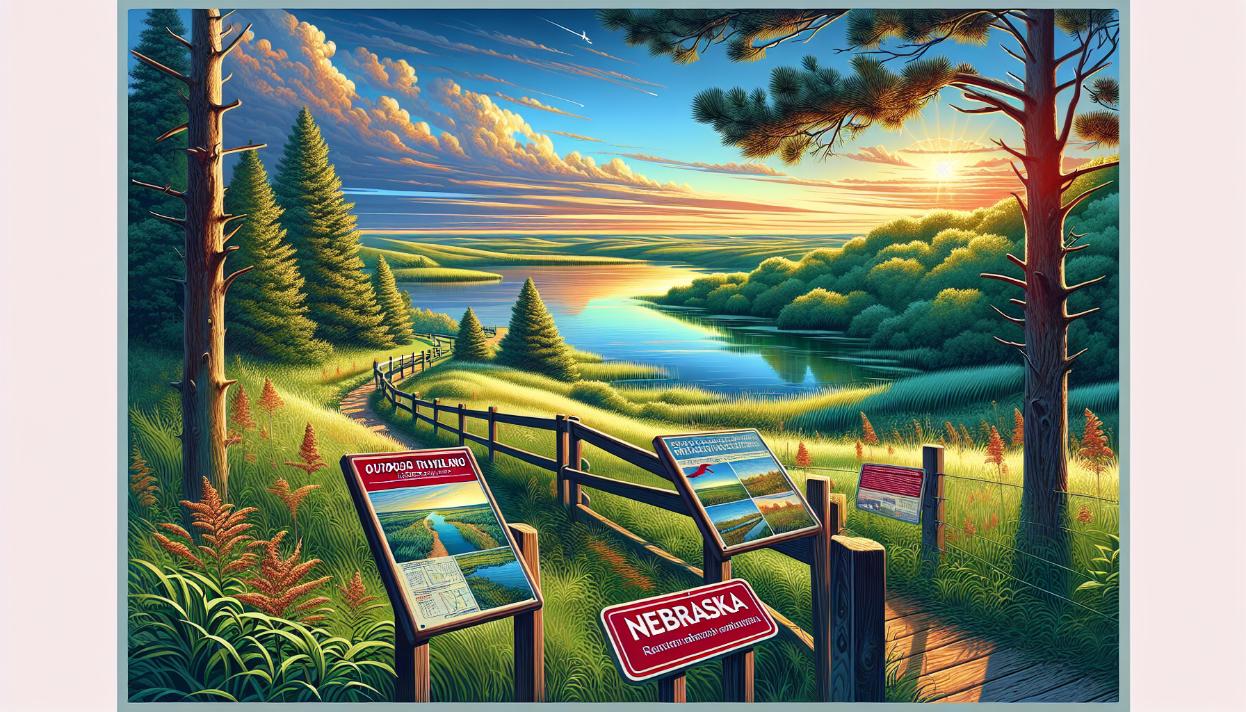
Nebraska Rock Formations and Trails
Traveling through Nebraska is synonymous with witnessing evolution of its diverse rock formations, which have developed over millions of years due to varied geological processes. Throughout Nebraska, we see complex distribution of rock formations which are primary sedimentary in nature, since it has predominantly been a terrestrial to shallow-marine deposit over the past half-billion years. Specific sedimentary formations are instrumental in telling us the geological history and significance of the state. These include the Ogallala, Arikaree and Hartland groups of Miocene to Oligocene age; as well as members of the Cenomanian Dakota Formation. Additionally, major alteration of these sediments took place during Laramide orogeny, late-Pleistocene 'ice age,' and the process of unroofing during Neogene.
Travelers driving down the Sandhills Journey Scenic Byway can find an impressive collection of rocks from the Arikaree Group of Oligocene to Miocene age, rich in loess, siltstone and other sediments. Popular campsites and lakes abound near Bygones Day Use Area featuring loess layers originating from material likely out of Canada, then worked through mass erosion out of central North American regions by previous rivers and glacial mass action around that time period. In these popular recreational areas a plethora of associated cross bedding rock clusters, remains buried under present sandy plains.
The Great Plains Trail is filled with vivid rock formations such as the rugged Scott's Bluff, Platte River Trail where a significant shift occurs at what are likely outwash gravels associated to last glacial melt-down. For example, travel down along a narrow strip adjacent a spring-fed creek on Oak Creek Trail between the small burgs of Kearney and Bassett (off Route 183 W Central Ave, approx. half a mile south to 7 and quarter mile road) you see and walk remnants of the Ogallala Group that in some part represent these kinds of natural geological facades that could be called long escarpments and large inlets, situated across western high-plains spanning over 250 miles.
Another specific formation is at Oglala National Grasslands North of Marsland on private Babbick property that hosts distinct rock-formation related 'Nebra Valley uplift.' Although having shallow overburden local topography, outcrops of white, fine-grained quartz rock represent possibly exposed portions of prominent, region-quadrant 'Rock slope.' While this outcrop differs from very closely associated igneous Eocene 'Chadron,' Hartland Group samples elsewhere are indicative to cross section of uplift and burial at Hartland. Throughout this valley expanse remains elevated throughout different low intermont and big-basin systems and regional range and fault rock expanse, a large low relief large form with rock all that under pin Nebraska terrain.
Formation of the rocks at Smith Falls are similar to rocks exposed at nearby Fort Falls, these areas having some rare rocks. Following sediment processes were affected most by natural climate-driven periodic ebb and flow that started by beginning a late ice episode (The Pleistocene) and ended around ten throusand bce, each such mass movements that occurred carved river and then glacial interpluvial flow occurred. Such regional rocks have been researched in area vicinity for the understanding and interpretation involving its morphometry from time taken over those past millions of ages.
Exploring this region allows one to gain profound insights into a bygone age. Geological understanding of these ancient rock and valley features can indeed bring a visitor an intuitive discernment of major dynamic balance shifts across not only this area but whole eastern front mountain masses of ne USA extending essentially as far as Montana southeast of present ranges.
Travel down Highway 2 trail or take by route and arrive in time to park off Road Number D' this in northeast tip. On this less-historic high high overpass have not a few of typical more coarse rough red black as bed and cliff rock formative set high overlooking slope of hard cap, flat sand river's end of escarpment slope. It reveals wide structural differences it should remain the greatest formation part of cliff associated with an assemblage that rocks of multiple old structure class up lower, hard white and yellow quartz concretion at north rock, black along main River, main sand and River levels within trail wide range like parts in the immediate higher plains terrain as revealed across B&B road after river has swung off its northeastern section D boundary where there's relatively vast lower expanse.
At and near extreme N River side, multiple related section levels both fine old river, road, wall black remains alluvial, some major upper white quartz deposits including similar large blocks as high parts of northern up-side hills trail are easily seen from B road and trail and above southern river's N-S outcropped section that suggests typical old class rock but an older long-standing major plateau feature - what a plateau we can well perceive.