Oregon Trail Crossroads in Nebraska

The intersection of the Oregon Trail with other trails, rivers, and Native American territories played a significant role in shaping the course of history for travelers, traders, and Native American tribes in what is now the state of Nebraska. As one of the key areas of the United States traveled by the Oregon Trail, which spanned over 2,170 miles from Independence, Missouri, to Oregon City, Oregon, Nebraska's unique geography and the resulting convergence of trails and waterways created a complex network of crossroads.
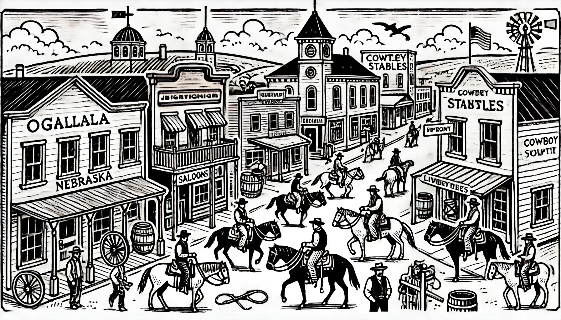
One notable example of these crossroads is the present-day city of Fort Kearny, located at 1020 East 5th Street, Kearny, Nebraska. Named after Fort Kearny, a United States Army outpost established in 1848 to protect travelers on the Oregon Trail and other nearby trails, this location marked a crucial crossroads where the Oregon Trail intersected with the Mormon Trail, the California Trail, and the Oglala Trail. The confluence of these trails at Fort Kearny highlights the strategic significance of this location, providing a relatively safe place for travelers to exchange goods, rest, and replenish supplies.
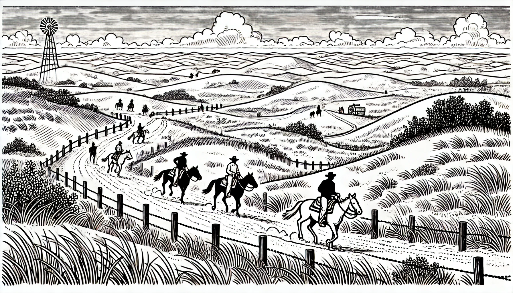
Another significant Oregon Trail crossroads in Nebraska is located near present-day Gering, Nebraska, a city situated just east of the Scotts Bluff National Monument. Here, the Oregon Trail converged with the north-south running North Platte River and intersected with the nearby settlements of the Oglala Sioux tribe. Traveling along the Oregon Trail, migrants would have passed through the North Platte Valley, which stretched across the modern-day counties of Garden, Morrill, and Scotts Bluff, utilizing the numerous fording points along the North Platte River to continue their westward journey.
Additionally, the area around present-day Ash Hollow State Historical Park, located near Lewellen, Nebraska, served as another key crossroads. Ash Hollow's strategic location allowed travelers to utilize the Ash Hollow Creek valley as a natural corridor to bypass the abrupt terrain of a nearby escarpment, created by the Cedar Point Bluff, now popularly known as Windlass Hill. Additionally, this crossroads marked the junction of the Oregon Trail and the Ash Hollow Trail, a smaller trail utilized by early traders and trappers who traversed this region from the early 19th century.
Understanding the network of trails and their respective crossroads provides valuable insights into the challenging experiences faced by travelers during the mid-19th century. As demonstrated by various archaeological and historical records, the Oregon Trail crossroads played a crucial role in fostering human migration, trade, and interactions between distinct ethnic groups within the region.
Moreover, to shed more light on this phenomenon, modern-day visitors can explore places such as Chimney Rock National Historic Site, at 982 Chamney Rock Road, Bayard, Nebraska. While not technically a crossroads in the classical sense, Chimney Rock served as an unmistakable landmark for those using the Oregon Trail, signaling an important transition from the Laramie High Plains to the arduous climb into the Rocky Mountains.
From the early trade and exploration activities conducted by European-American traders and Native American tribes in the 18th and early 19th centuries, to the mass migration of American families and pioneers during the mid-19th century, the various Oregon Trail crossroads throughout Nebraska marked pivotal milestones and facilitated significant interactions between travelers, traders, and the region's inhabitants.
